QUOTE (marswiggle @ Mar 30 2005, 09:17 PM)
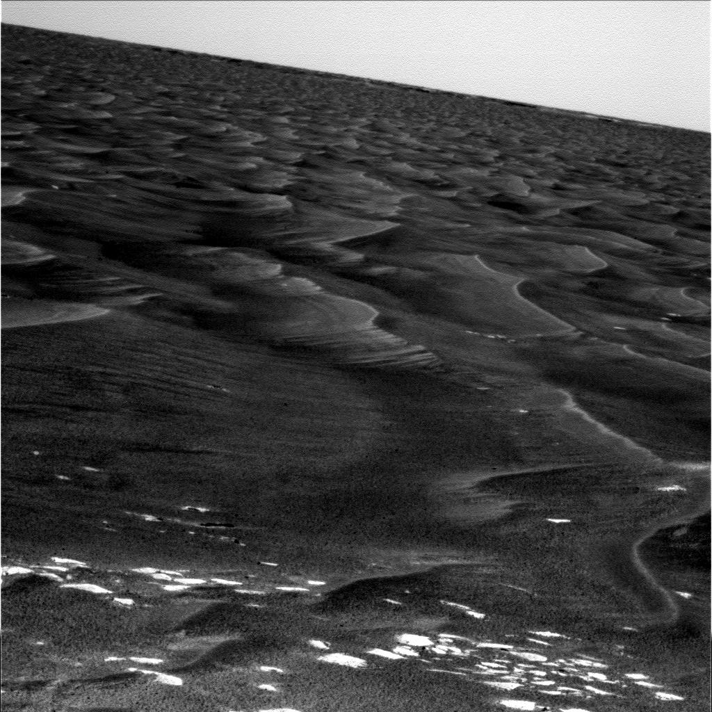
Is it possible that Oppy has detected its backshell and parachute in the distance? These are from the latest posting of pancam images. The direction is about right, NNW. A dark dot beside a whitish one near the horizon, and they are similar both in L and R images. They sit neatly into the scenery when looked in 3d.
http://qt.exploratorium.edu/mars/opportuni...00P2291L1M1.JPG
http://qt.exploratorium.edu/mars/opportuni...00P2291R2M1.JPG

http://qt.exploratorium.edu/mars/opportuni...00P2291L1M1.JPG
http://qt.exploratorium.edu/mars/opportuni...00P2291R2M1.JPG
If I had to guess, I would place those images toward the NW, based on dune and crossbedding orientation. I would also expect to see some evidence of Endurance in the background. I'm not sure what that is, but I don't think it's the backshell.


 )
)
 Sorry.
 )
)