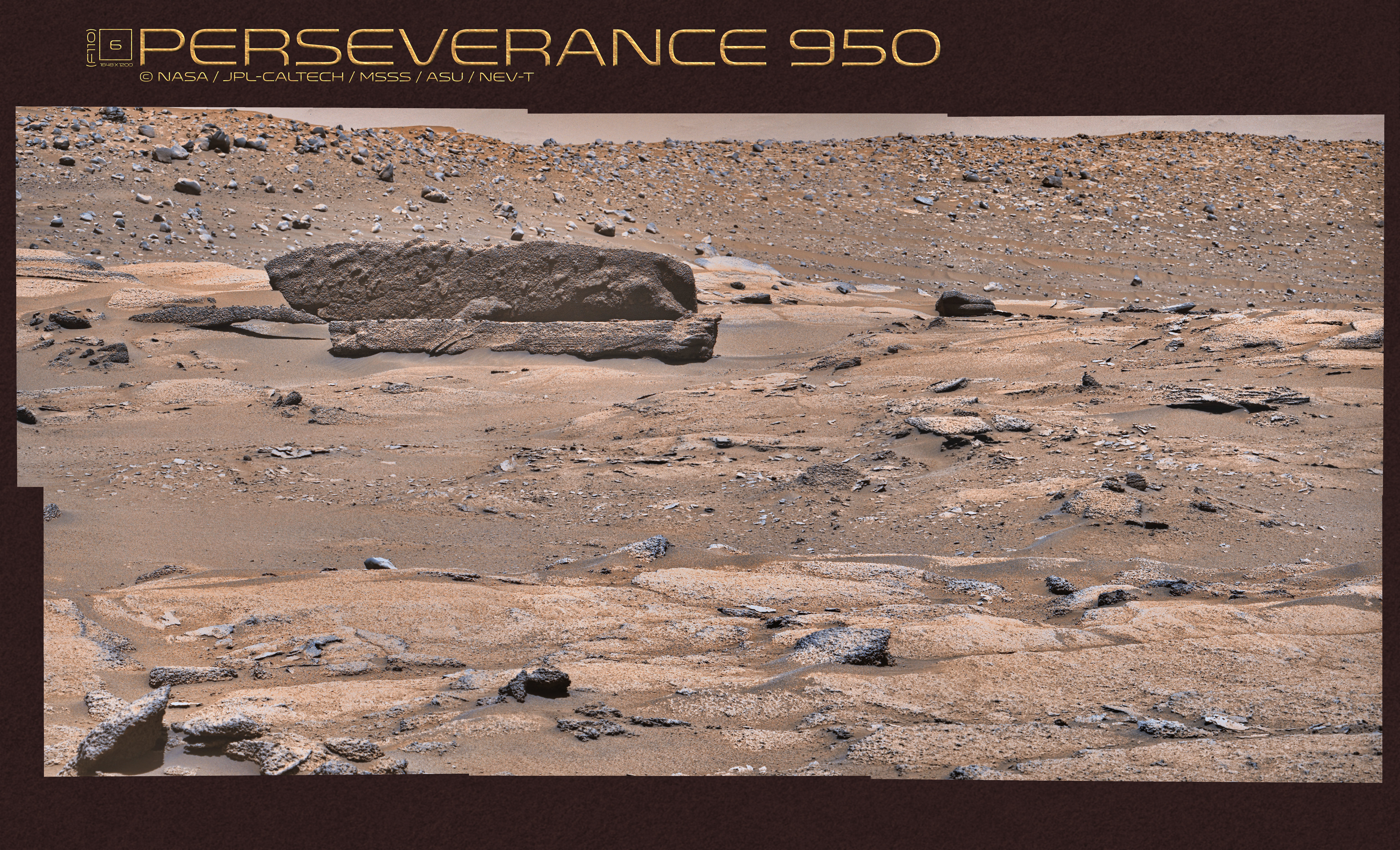
I was wondering if the layered rock might extend beneath the bumpy rock, which can't be decided from the images in the previous posts.
The bumpy rock had even been imaged already on sol 934 with the left and right eyes of the Mastcam-Z simultaneously.
These paired raw images (
1,
2), along with paired images of Sol 950 (
3,
4,
5,
6), enabled triangulation (map 1).
There is a dark rock (and/or shadow) at the intersection of the distance circles around the respective rover positions.
Helicopter flight paths run nearby. And indeed, the dark rock is visible in some helicopter color camera photos from sol 915.
Calculating the relative positions (as seen from above) of the visible front faces of the three rocks with the help of the sol 950 raw images results in the left inset in map 2.
Light blue polygons are a measure of the uncertainty of the triangulation. Here is A - the bumpy rock, B - the layered rock, C - the rock with a hovering pointed tip and its shadow.
Both insets and the orbital photo are of the same scale.
The photo made by the helicopter clearly shows that A and B are not connected and that the apparent contact between A and B in
this image is an optical illusion.
Click to view attachmentClick to view attachmentClick to view attachmentClick to view attachment


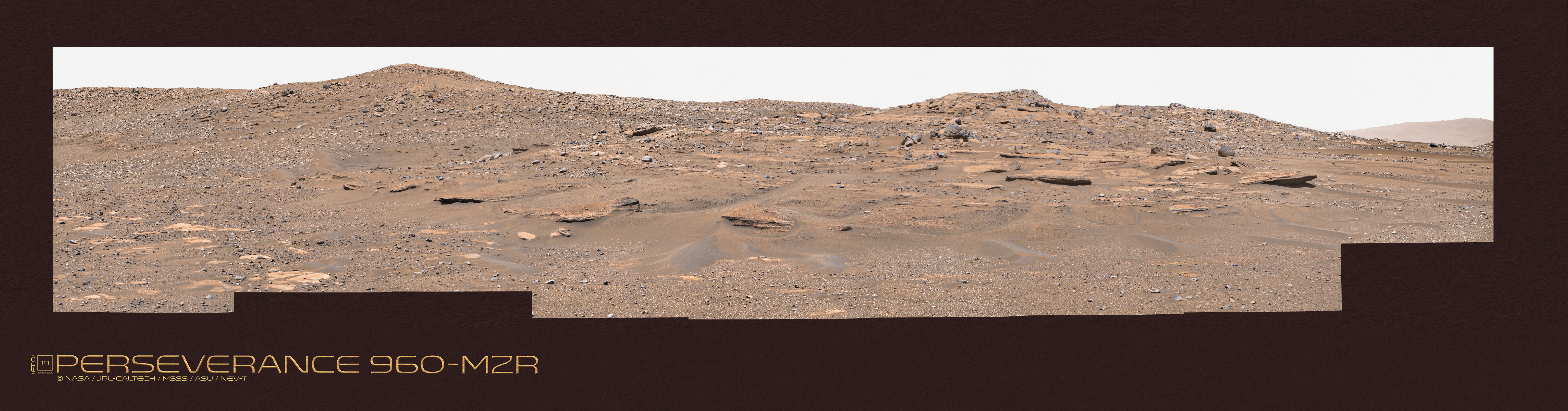
 Here are a couple of Sols that help fill in the animation. The first mosaic uses Sol 997 imagery with a large version link. Thanks to Paul for image and camera navigation info and Kevin Gill for the raw image utilities that all help prep the images for my processing.