QUOTE (Ant103 @ Jun 25 2010, 02:33 AM)

The view is starting to be great ! This inspired me some letters insertion to form the word "Endeavour" inside the crater (and a new header for my site).
Sorry Ant, this reminds me totally on a scene out of 'So Long, and Thanks for All the Fish' from Douglas Adams: Arthur, Fenchurch and Marvin are searching the God's Final Message, and they find it on a planet, written in gigantic letters (in front of some montains?): "We apologise for the inconvenience".
"Arthur takes Fenchurch to the planet where God's Final Message to His Creation is written, and they happen across Marvin, who, because of previous events, is now approximately 37 times older than the known age of the universe and is barely able to continue. Marvin, with Arthur and Fenchurch's help, reads the Message ("We apologise for the inconvenience"), smiles, utters the final words "I think... I feel good about it," and dies happy." (Excerpt from Wikipedia.en)
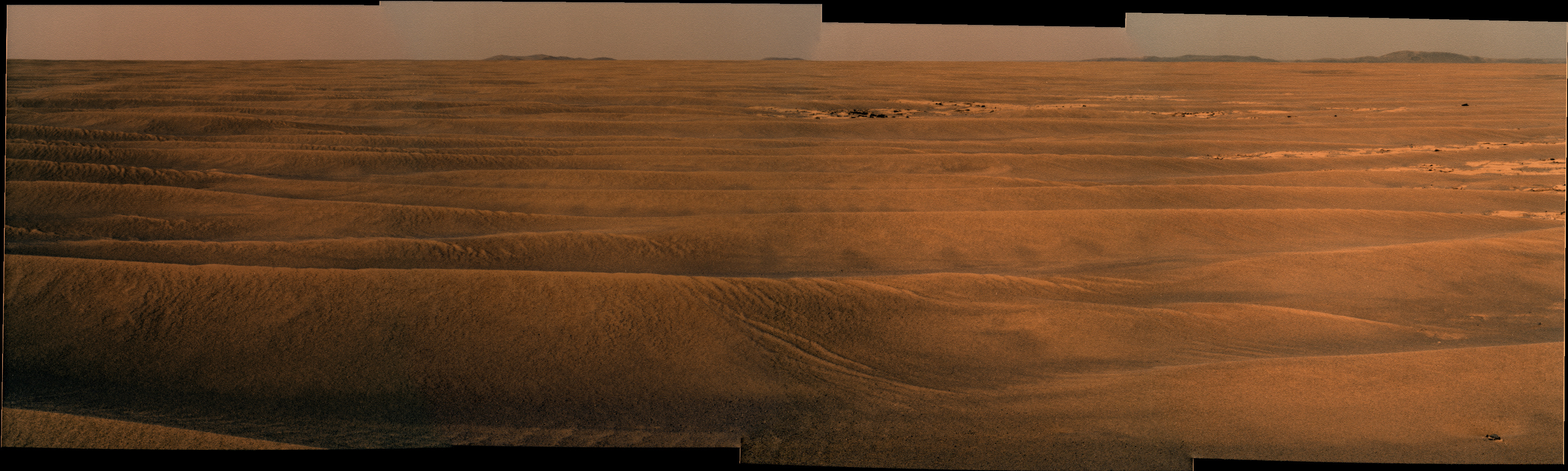
I don't now if Opportunity was ever so depressed like Marvin, but she is also about 25 times about her lifetime ...


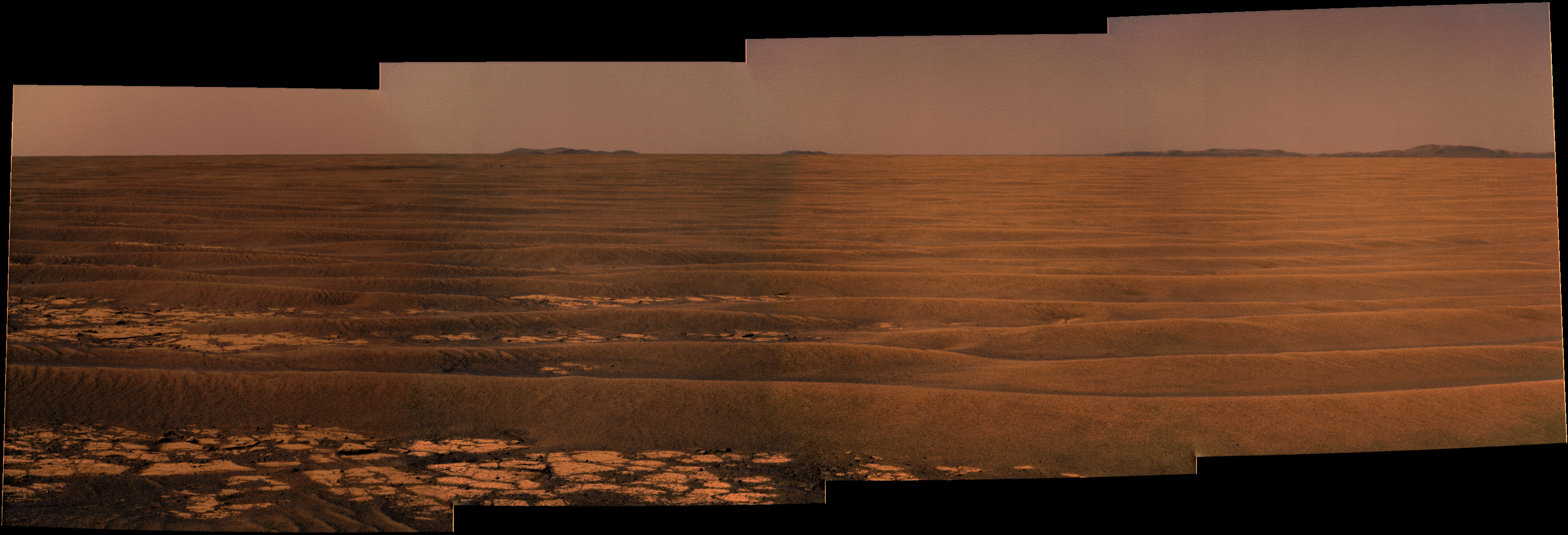
 From this information it seems like we are headed to Cape Tribulation. This is great, exactly where I want to go. But What about


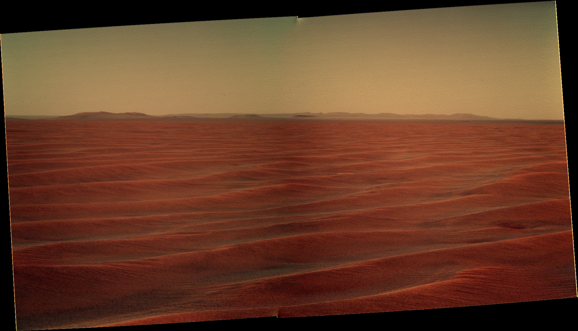
 view of Cape York I made by stitching together some crops of the "anaglyph" view of a HiRISE image...