QUOTE (atomoid @ Aug 11 2021, 08:03 PM) 
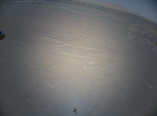
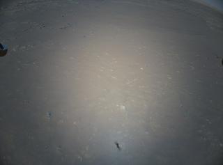
Indeed, the mysterious "X" could be poised to mark the spot of a profoundly serendipitous discovery!
It does seem odd that it was not obvious in previous flights, or perhaps image processing might reveal some faint indicators overlooked in previous take-offs?
If its not just a very tricky artifact of the hardware, there may be a critical variable that can be isolated from other instruments based on timing, dust, humidity, exposure, radiation... what else?
It might involve some sort of surface roughness / opposition surge effect?
My guess that the "Nazca Images" are related to the black rotors and the solar panel, causing differential cooling/heat loss, or a different radiation spectrum (more IR, less UV) in the shadows.
Example for cooling, have you ever noticed that on a chilly night if you park your car within about 6 feet of a building, the side facing the building does not frost over while the side facing away will have frost? Same way that on a clear night you can get frost on a roof even though the average air temperature never officially gets below freezing.
Example for differential spectrum, ‘Margarita photodermatitis’ when cyclin carbon compounds in lime juice are activated by UVA light.


 to ask some stupid questions, and here's one of this kind.


