QUOTE (Phil Stooke @ Mar 10 2021, 08:06 AM) 
I just noticed that when you let the cursor roll over the traverse on the 'where is the rover' map, it pops up with the length of the drive. I don't know if I just missed that before or if it's new. Roll over the site and you get the sol on which the rover reached that point - it has done that since the landing. If that works for Curiosity as well, it makes up for the loss of drive distance which Paul was concerned about.
Phil
Phil
Mouse over has worked from the onset on paths, it also works on the sol markers. Zoom in close on the M20 map, you can select the individual paths, once selected the path length is displayed on the top of the page, click a sol marker and the sol/waypoint number is displayed instead.
Presently the MSL map mouse over, and clicking a sol marker works as M20. Mouse over or clicking the path displays this caption 'from_SCLK:0'. The maps appear to get those captions from the geojson fields that are readily exportable from the map menu.
I really enjoy using these new maps, and especially the additional json data available in the M20 map like roll and pitch and the path length is wonderful. Hopefully they'll provide the same level of details on both maps one day, I know it's there in JSON files in NAIF / SPICE for those that know how to get it, but that's probably not the best way to excite the public who use these maps.


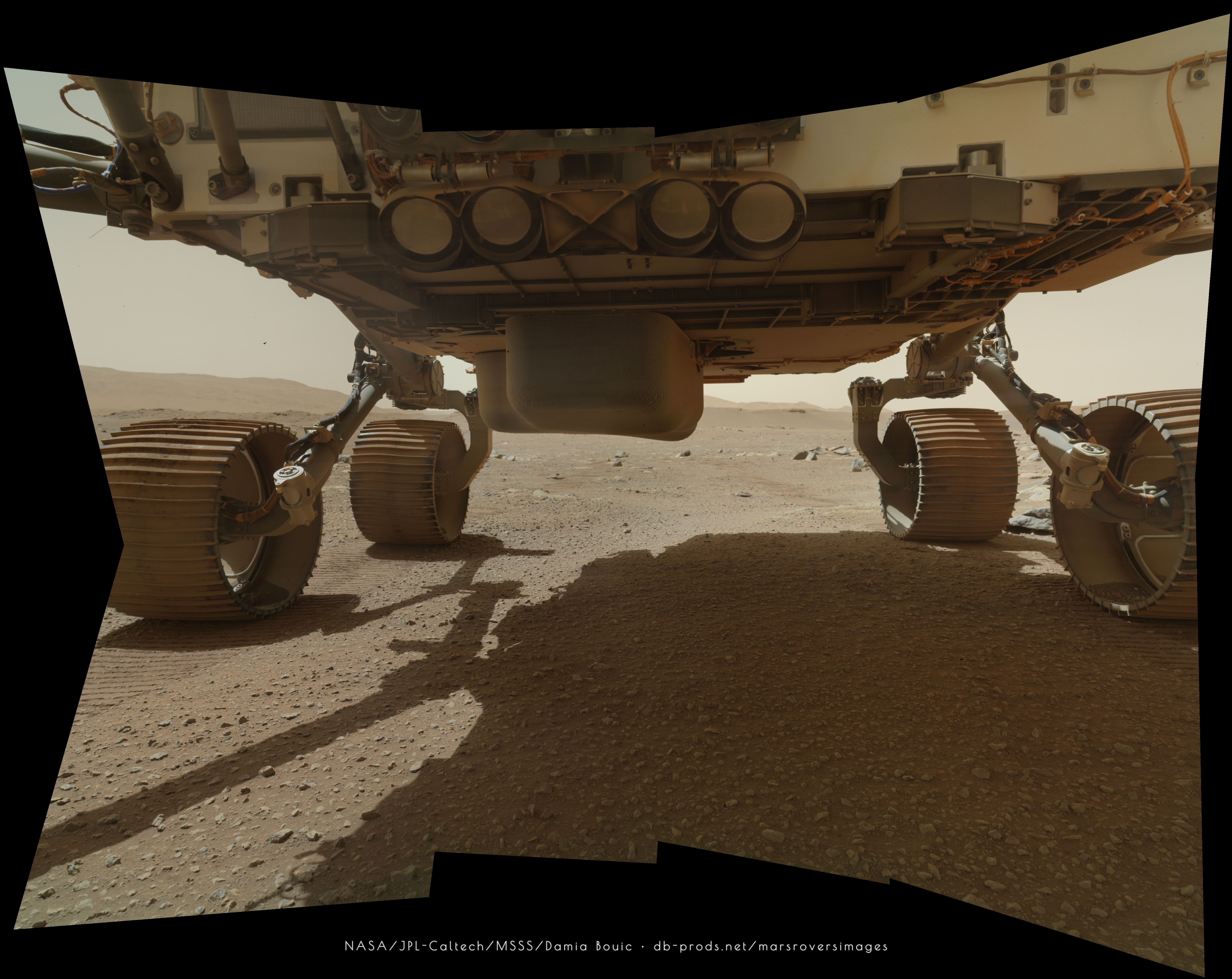
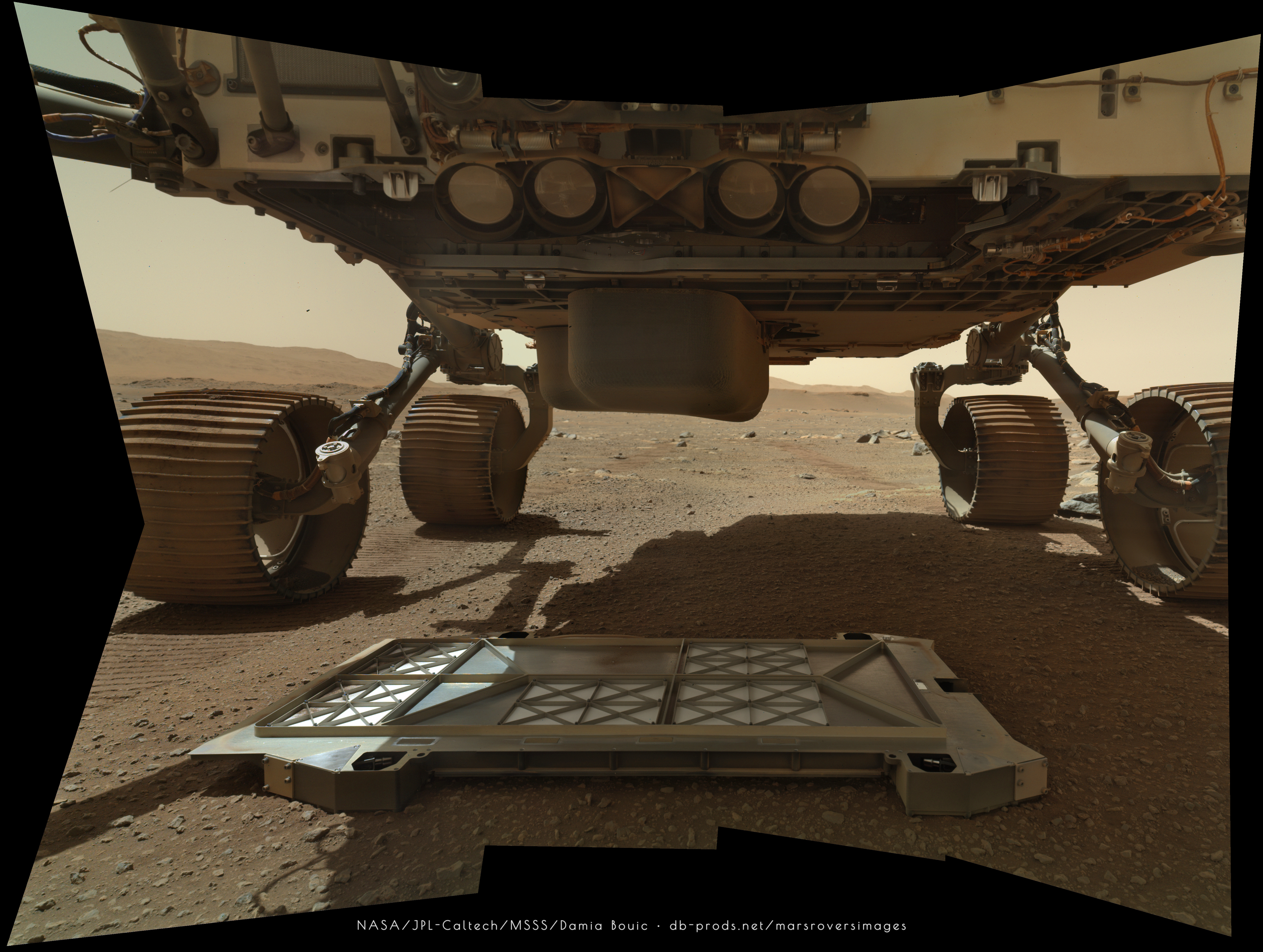


 ) examples on the pan's
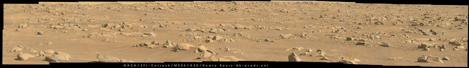
 A dust devil on sol 17--I wonder if there are more?

