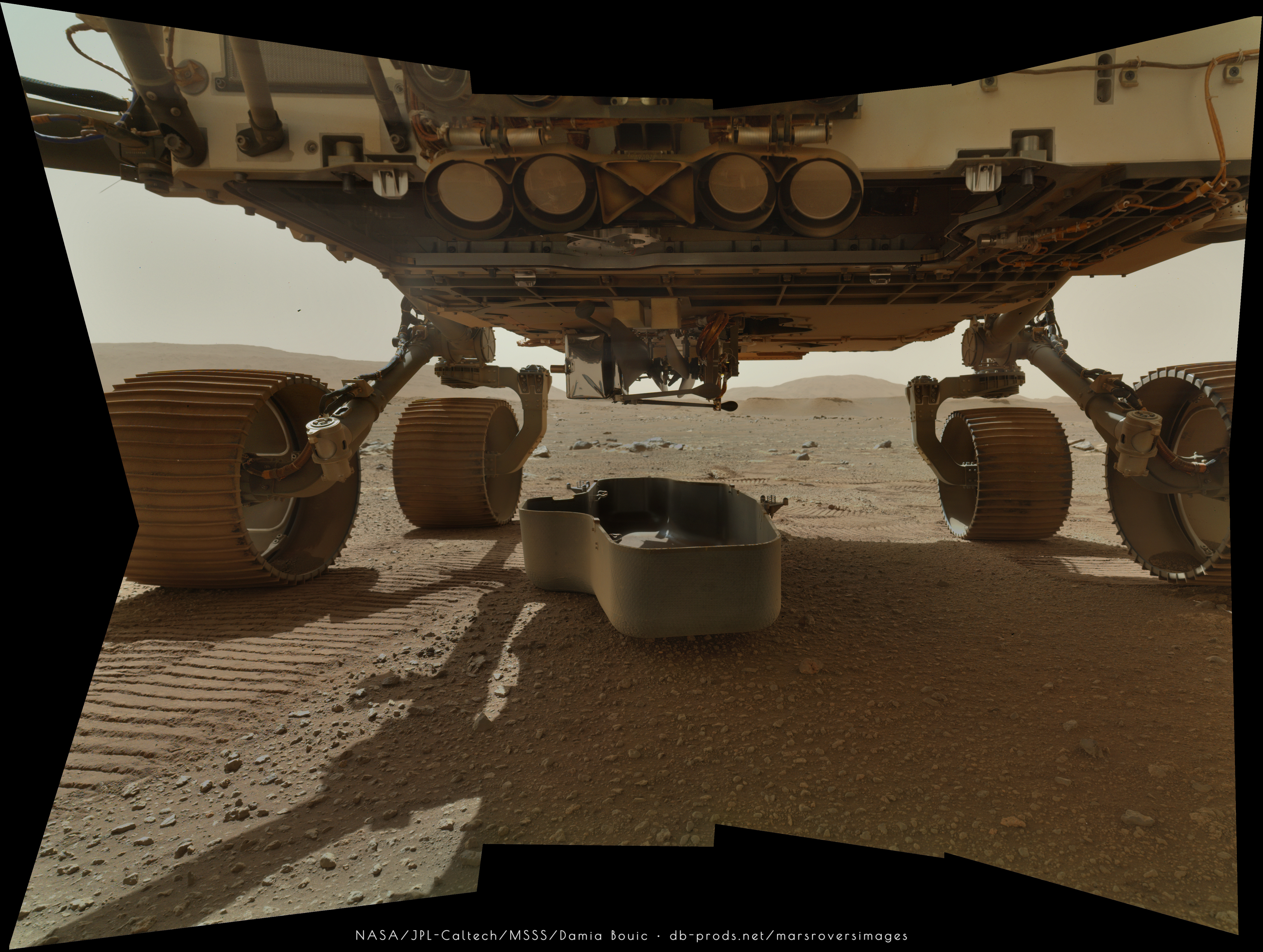
A lot of instrument and caching system checkouts recently, so not much to see, but on sol 28 the arm is on the surface.
Phil
Click to view attachment
Full Version: Perseverance - Early Drives
QUOTE (neo56 @ Mar 17 2021, 02:23 PM) 
WATSON imaged its calibration targets with its many easter eggs!
4th target, top row: a maze with Sherlock Holmes' silhouette in the center.
1st target, bottom row: 221BBAKER i.e. 221B Baker Street, the address of Sherlock Holmes in London.
There is also a row of characters behind it which is a code. Will you be able to crack it?
4th target, top row: a maze with Sherlock Holmes' silhouette in the center.
1st target, bottom row: 221BBAKER i.e. 221B Baker Street, the address of Sherlock Holmes in London.
There is also a row of characters behind it which is a code. Will you be able to crack it?
I wonder why didn't they use a correct symbol for the letter "F"?
Sol 26 MastcamZ L + R + Pixel-Percy for scale

QUOTE (Pando @ Mar 20 2021, 04:20 AM)
I wonder why didn't they use a correct symbol for the letter "F"?
Maybe there is another version of the code?
My take on the mosaic of Mastcam-Z Left & Right at 110mm focal length + one MastCam-Z at 26mm to fill the panorama.

A little drive on sol 29, nearly back to the sol 20 position where the belly pan was dropped. This is probably to drop the debris shield covering the helicopter.
Phil
Click to view attachment
Phil
Click to view attachment
Pixel-Percy & The Penguin

Sol 11 with CG rover added for scale
Sol 11 with CG rover added for scale
QUOTE (Andreas Plesch @ Mar 15 2021, 09:12 PM)
...So, if the the format of the source geojson does not change, the link should auto-update after new drives, at the same time when the Where is Perseverance map updates....
double click to recenter, middle button to pan, right button or wheel to zoom. There is a RESET button to the rescue if you get lost.
double click to recenter, middle button to pan, right button or wheel to zoom. There is a RESET button to the rescue if you get lost.
Of course, the geojson traverse data did change its representation a bit, with the last leg added now to the front rather than to the end. All sorted now on https://bit.ly/PercyMAP .
Sol 30 Watson mosaic, showing the protective shell (or case ?) on the ground, unveiling the drone.

https://bit.ly/PercyMAP has been updated to link the blue way points to relevant NASA summaries, or forum sections, in a new tab.
Looks like another drive on Sol 31 (Site 3 / Drive 1044?)
Click to view attachment
Click to view attachment
QUOTE (PaulH51 @ Mar 22 2021, 02:41 PM)
Looks like another drive on Sol 31 (Site 3 / Drive 1044?)
Yes, tracking back further towards that larger dune about 30m to the west of the sol29 position, perhaps a 20m or so drive. The drive numbers are from the RMC (I think Rover Motion Counter) which is as far as I recall updated for each adjustment of any movable parts of the rover.
You can see the belly pan and debris shield eastward.
Click to view attachment
Click to view attachment
Not enough pics for a Navcam panorama yet but the Hazcams give us a view of the location:
Click to view attachment
Phil
Click to view attachment
Phil
I'm sure the combined image below is 'way off' the distanced effects between the separate 'pan' and 'shell', but it looks nice to see the two together on the surface.
If the pan & shell appendages have been 'intentionally' dropped (self-impacted) on to the surface; are these then classed as the most recently-recorded, man-made
impactors on Mars? Surely, yes (of posting)!
John

If the pan & shell appendages have been 'intentionally' dropped (self-impacted) on to the surface; are these then classed as the most recently-recorded, man-made
impactors on Mars? Surely, yes (of posting)!
John
Another drive on sol 32, bringing us close to the landing site. We don't have Navcams for a full pan yet but this is a partial pan reprojection.
Phil
Click to view attachment
Phil
Click to view attachment
I have updated https://bit.ly/PercyMAP with sites for the airfield and overlook, a new perspective view from the overlook and little Ingenuity hovering 3m above ground at the airfield in anticipation.
EDIT: I also converted the full 2:1 panorama by neo56 (much appreciated) to a cubemap and use that now as a background which approximately matches the map. It is only partially visible in the overlook perspective for now.
EDIT2: I could animate the blades of the helicopter (by reaching inside the glTF model). They animate at 0.3s per revolution, much slower than actual (max. of 2800 rpm = 0.0214s per rev.)
It's great to see all the work being done on these cool pictures.
We finally have a full Navcam panorama for sol 31, so here is a circular version of it. Followers of Curiosity will know that I call this sort of image circular rather than polar because of the way I manipulate the radial scale, partially reducing the fish-eye effect of a normal polar projection and making it easier for me to compare with a HiRISE image for localization. The Ingenuity debris shield is at 3 o'clock.
Phil
Click to view attachment
QUOTE (Phil Stooke @ Mar 24 2021, 04:27 PM)
It's great to see all the work being done on these cool pictures.
We finally have a full Navcam panorama for sol 31, so here is a circular version of it. Followers of Curiosity will know that I call this sort of image circular rather than polar because of the way I manipulate the radial scale, partially reducing the fish-eye effect of a normal polar projection and making it easier for me to compare with a HiRISE image for localization. The Ingenuity debris shield is at 3 o'clock.
Phil
It is fun, too ! Is this post from way back still an accurate description of how the radial distance in the circular panoramas relates to the vertical angular distance seen from the camera ?
Yes but I have refined it now and work more systematically and at a larger size.
Phil
Phil
Thanks, Phil, the panoramas look great. Is there a systematic relationship between the center (radius 0) at straight down (vertical) and the max. radius at a few degrees elevation above the horizon ? I made rather unsuccessful attempts of mapping pixels to ground by determining angular relationships between the nav. cam location and ground locations from the DEM but I think considering optics, more accurate camera location and a better DEM would all be needed (probably better suited for another topic).
I answered Andreas's question privately. Meanwhile, here is a departing view of the debris shield taken by the front Hazcams on sol 31.
Phil
Click to view attachment
Phil
Click to view attachment
Is this another dust devil in the Sol 34 NAVCAM images?
Circled in blue:
Click to view attachment
Flicker gif:
Click to view attachment
NAVCAM_RIGHT
NAVCAM_LEFT
Edit: Whatever it is, the white "smudge" doesn't appear in the FRONT_HAZCAM_RIGHT_A
Circled in blue:
Click to view attachment
Flicker gif:
Click to view attachment
NAVCAM_RIGHT
NAVCAM_LEFT
Edit: Whatever it is, the white "smudge" doesn't appear in the FRONT_HAZCAM_RIGHT_A
https://bit.ly/PercyMAP updated for the latest segment (with more robust processing of not fully populated traverse geojson). Interesting that the drive stopped just a bit short (about 7m, or two rover lengths) of the airfield target. Perhaps for a last opportunity to image and analyse the airfield area really closely without sitting on top of it. (Although it was mentioned that they already looked at every rock and rock fragment in existing imagery which is very detailed.)
It seems like we might have different enough perspectives of the delta now to make a compelling stereogram of it. (This is one of those, "Not me but maybe someone" posts.)
QUOTE (Marvin @ Mar 25 2021, 01:18 PM)
Is this another dust devil in the Sol 34 NAVCAM images?
You mean sol 33 images? Anyway, you can blink it with the image starting NRF_0032_0669789274 (or use left) if you want more convincing. There are more that are also pretty convincing in inspection of raw images and quite clear in pre-/post-drive blinks (maybe with crops, since the fields-of-view change quite a lot).
QUOTE (Deimos @ Mar 25 2021, 10:48 AM)
You mean sol 33 images? Anyway, you can blink it with the image starting NRF_0032_0669789274 (or use left) if you want more convincing. There are more that are also pretty convincing in inspection of raw images and quite clear in pre-/post-drive blinks (maybe with crops, since the fields-of-view change quite a lot).
Yes, it's Sol 33.
This is the same area they posted the dust devil on Twitter.
Here's a comparison between the NAVCAM and HAZCAM from Sol 33. They were taken at different times, and the "dust devil" is missing from the HAZCAM (at bottom):
Click to view attachment
NAVCAM_LEFT
FRONT_HAZCAM_RIGHT_A
Edit: I hope Dust Devils don't affect Flight Operations

Sol 33 circular panorama - this one is good for showing the outbound and inbound tracks and the proximity to the landing site with its bright scour markings. These circular panoramas I am making are each composed of five Navcams.
Phil
Click to view attachment
Phil
Click to view attachment
I have also gone back to make a circular panorama for sol 23. The rover looks odd because I have maximized surface coverage where images overlap. In particular the cylindrical low gain antenna at the rear is cut out entirely in this view, allowing a glimpse of the belly pan peeking out behind the rover (lower right).
Phil
Click to view attachment
Phil
Click to view attachment
I'm impressed by the fact there have been no aborted drives compared with Curiosity; seems like the navigation software (and human drivers) are real upgrades! Albeit, the terrain is relatively simple to navigate at this point....
There has been no use of autonav so far. There wont be until after the helecopter is deployed. All there has been so far is 'blind' drives. There is little to cause one of those to fault out in terrain like this.
https://bit.ly/PercyMAP updated to have Ingenuity 4m above ground and offset 1m from the current position of the rover. Also, the lower heli blade rotates now in the correct position.
Paul, that rock does look like an iron meteorite. We'll see if they say anything about it.
This is a circular panorama for sol 34.
Phil
Click to view attachment
This is a circular panorama for sol 34.
Phil
Click to view attachment
Additional images have come down since the time of the sol 14 drive and now it's possible to make a panorama from the Navcams. Here is a circular version.
Phil
Click to view attachment
Phil
Click to view attachment
I am puzzled about the initial sounds of the Rover driving, which was captured by the EDL microphone. The assortment of clangs, sproings, crunches and whirs was unexpected. It sounded to me more like mechanical vibrations picked up from a microphone close-coupled to the chassis as opposed to actual noise picked up from the atmosphere. I've not found anything on how the microphone is mounted to the Rover. Of course, I may misunderstand the actual function of the EDL microphone.
On the other hand, the sounds picked up from the other microphone mounted on the SuperCam recording Laser zaps and wind noise sounded as I would have expected them to sound.
Any clarification on this?
--Bill
On the other hand, the sounds picked up from the other microphone mounted on the SuperCam recording Laser zaps and wind noise sounded as I would have expected them to sound.
Any clarification on this?
--Bill
QUOTE (Bill Harris @ Mar 27 2021, 01:01 AM)
I am puzzled about the initial sounds of the Rover driving, which was captured by the EDL microphone. The assortment of clangs, sproings, crunches and whirs was unexpected. It sounded to me more like mechanical vibrations picked up from a microphone close-coupled to the chassis as opposed to actual noise picked up from the atmosphere. I've not found anything on how the microphone is mounted to the Rover. Of course, I may misunderstand the actual function of the EDL microphone.
On the other hand, the sounds picked up from the other microphone mounted on the SuperCam recording Laser zaps and wind noise sounded as I would have expected them to sound.
Any clarification on this? --Bill
On the other hand, the sounds picked up from the other microphone mounted on the SuperCam recording Laser zaps and wind noise sounded as I would have expected them to sound.
Any clarification on this? --Bill
Thanks Bill.
Well... I'm not suprised : please don't forget that it's over a metric ton, slowly rolling on Mars with metallic wheels over rocks and 'crunchy' soil. These are the kinds of sounds to be expected... even on Earth
QUOTE (PaulH51 @ Mar 26 2021, 05:47 AM)
Are we looking at Perseverance's first nickel-iron space rock?
Looks like they're getting ready to examine the possible meteorite (circled):
Click to view attachment
FRONT_HAZCAM_LEFT_A
More likely taking images underneath the rover.
QUOTE (Bill Harris @ Mar 26 2021, 05:01 PM)
I am puzzled about the initial sounds of the Rover driving [
] It sounded to me more like mechanical vibrations picked up from a microphone close-coupled to the chassis as opposed to actual noise picked up from the atmosphere.
The atmosphere is 6.7 millibars of cold CO2. Divide the atmospheric component of the sounds you'd expect to hear on Earth by ~75 while the sounds transmitting through solids remain the same.
QUOTE (Bill Harris @ Mar 26 2021, 04:01 PM)
I've not found anything on how the microphone is mounted to the Rover.
It's described very well, with a figure, in Maki et al https://link.springer.com/article/10.1007/s11214-020-00765-9
As you can see, the EDL microphone is hard-mounted to a bracket right above one of the wheels, whereas the Supercam microphone is up on the RSM. So more coupling to the chassis and more driving noise is only to be expected from the EDL microphone.
Click to view attachment
The function of the EDL microphone was obviously to record the sounds of the landing but they weren't sure it would survive the landing:
Source
So, the EDL microphone was repurposed for surface operations.
For for the sake of completeness, the SuperCam Microphone is located here:
Click to view attachment
It is usually used in conjunction with SuperCam laser, and the sound of the laser hitting the rock can also give clues as to the composition of the rock. I would assume the rover is stationary when using the laser, so that's why the laser sound is cleaner.
This PowerPoint presentation has a short history of planetary microphones, more information about the SuperCam microphone and the acoustics on Mars:
The Mars Microphone onboard Supercam for the Mars 2020 rover
When you consider Mars has only 1% of the air density compared to Earth, and is 95% carbon dioxide, it's pretty amazing we can still hear things.
QUOTE
We may hear the friction of the atmosphere, the winds, and the sounds of dust displaced as the rover lands. It is unlikely it will work beyond landing. If it does survive, we may be able to hear the sounds of the Martian winds and sounds of the working rover, such as the wheels turning, or the motors that turn its head, and the heat pumps that keep it warm.
Source
So, the EDL microphone was repurposed for surface operations.
For for the sake of completeness, the SuperCam Microphone is located here:
Click to view attachment
It is usually used in conjunction with SuperCam laser, and the sound of the laser hitting the rock can also give clues as to the composition of the rock. I would assume the rover is stationary when using the laser, so that's why the laser sound is cleaner.
This PowerPoint presentation has a short history of planetary microphones, more information about the SuperCam microphone and the acoustics on Mars:
The Mars Microphone onboard Supercam for the Mars 2020 rover
When you consider Mars has only 1% of the air density compared to Earth, and is 95% carbon dioxide, it's pretty amazing we can still hear things.
As I suspected: the sound of the Rover driving is of the wheels on the surface transmitted through the suspension to the chassis and to.the hard-mounted EDL microphone. Although from a physics-sense this is sound, from a perceptive-sense it is a bit of a stretch.
The Super Cam microphone, OTOH, has recorded true sounds on Mars transmitted through the atmosphere.
Semantics, maybe...
The Super Cam microphone, OTOH, has recorded true sounds on Mars transmitted through the atmosphere.
Semantics, maybe...
I imagine that if you lay on the ground and the rover rolled over you you would pick up the sound pretty well. Not that I recommend it.
Meanwhile on sol 35 the Navcams took a set of images of the horizon in pairs separated by a few minutes, Looks like a dust devil survey to me.
Phil
Meanwhile on sol 35 the Navcams took a set of images of the horizon in pairs separated by a few minutes, Looks like a dust devil survey to me.
Phil
Looks like I was right - the first pair of images I compared, poof - there's a dust devil! In fact, two.
The black and white areas are the same DD in two separate frames, one a negative, one a positive so they cancel each other out except where something moves.
Phil
Click to view attachment
The black and white areas are the same DD in two separate frames, one a negative, one a positive so they cancel each other out except where something moves.
Phil
Click to view attachment
There are three frames within about 30s. Here is a gif with timestamps, sped up 10x:
Click to view attachment
The right dust devil is contrast stretched. The faint dust devil to the left is just barely visible and would need more careful enhancement.
zoom:
Click to view attachment
Perhaps this sequence was also a test for imaging Ingenuity from the overlook, rapidly and with a wide aspect ratio.
Click to view attachment
The right dust devil is contrast stretched. The faint dust devil to the left is just barely visible and would need more careful enhancement.
zoom:
Click to view attachment
Perhaps this sequence was also a test for imaging Ingenuity from the overlook, rapidly and with a wide aspect ratio.
This is a "lo-fi" version of our main content. To view the full version with more information, formatting and images, please click here.