QUOTE (fredk @ Sep 20 2012, 10:03 AM)

... Since then there was oversampled CRISM data, as described in
this abstract. There's also a different looking (but very low resolution) map in
this abstract, although that appears to be based on Wray etal.
I haven't seen a proper map that shows the signatures on CY using the oversampled data - maybe someone else can point us to something public? ...
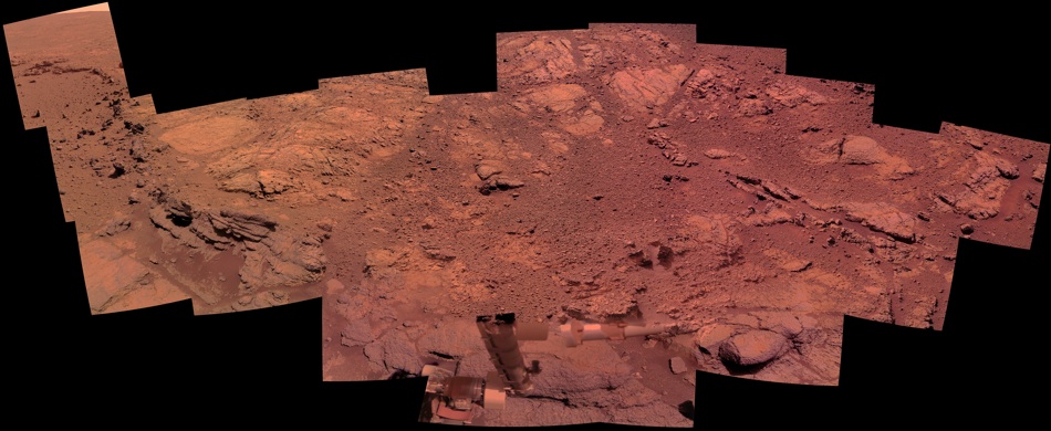
Thanks, fredk. I have been searching for the oversampled data but so far have come up short. I also recall those Arvidson quotes from Salley's update. It appears that the continuation of these outcrops to the south goes right through the old CRISM anomaly, so perhaps the oversampling technique simply expanded the area of detected phyllosilicates to these outcrops. There's no doubt that the people driving Opportunity know where they are going.
QUOTE (ElkGroveDan @ Sep 20 2012, 11:56 AM)
Someone remind me again, how do they determine mineral hydration with the Pancam? Which filter or combination of filters are used?
Dan: Here's a little more detail about detecting mineral hydration with the pancams. I think hydration could more reliably be detected if they could see deeper into the infrared band, but the R7 filter does see part of a water absorption feature. If it was still working I think the mini-TES would have been the best instrument to use to detect hydration.
A few recent papers have mentioned using the pancam filters to calculate a hydration index as serpens described. See the attached figure from Arvidson et al, "Opportunity Mars Rover mission: Overview and selected results from Purgatory ripple to traverses to Endeavour crater" JGR 2011.
Click to view attachment