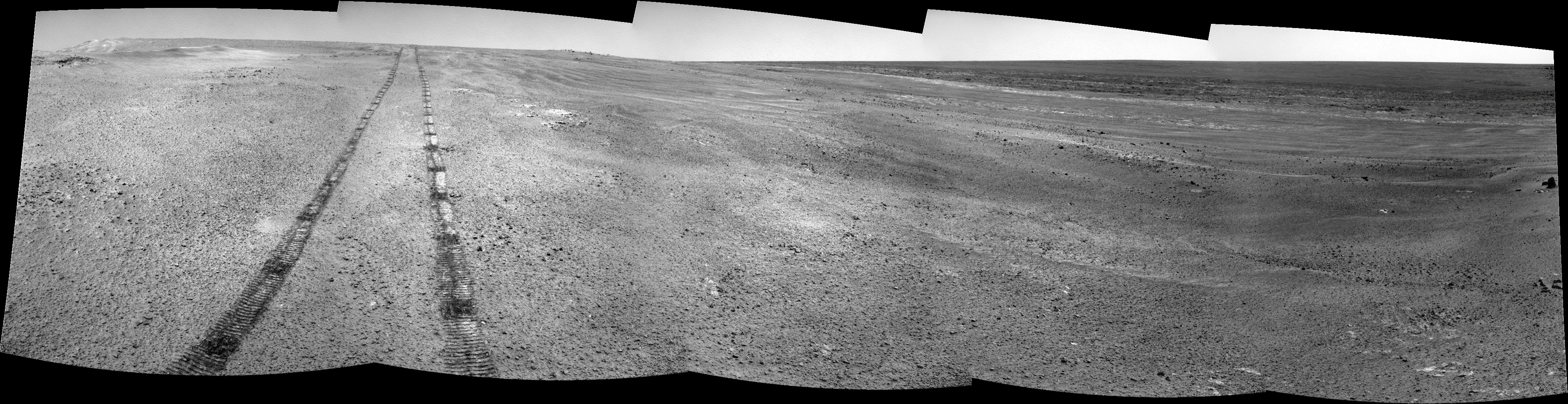
QUOTE (Stu @ Nov 19 2011, 06:18 AM)

"Turkey Haven" looking south... I think... I'm a little lost after not really paying attention the past couple of days...
 Click to view attachment
I think this is right. Turkey Haven seems to be referenced as the one right under our nose; we'll be IDD'ing this boss through the Thanksgiving weekend.
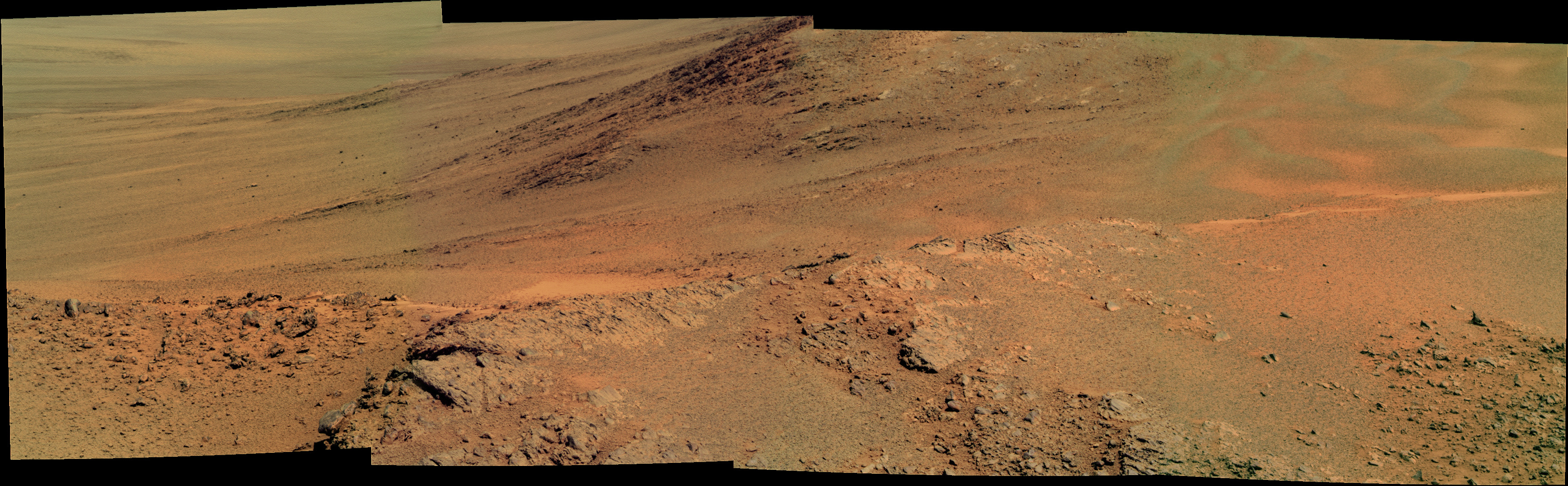
"Winter Haven" might be another name floating around, which is ~15m NE of Oppy right now. It has even greater northerly slopes than Turkey Haven, which is at about 15 degrees as is!
I don't know if "Winter Haven" is
the winter haven, but it certainly is a candidate. Since it doesn't an an official associated target in our tactical database (for now), I would guess that it was just the name the science team chose on a whim. That seemed to be the way of things at the SOWG meeting for 2778/9...
Interesting how I'm knee-deep with the team and I don't know these things!

-m


 )
)

 ?
?