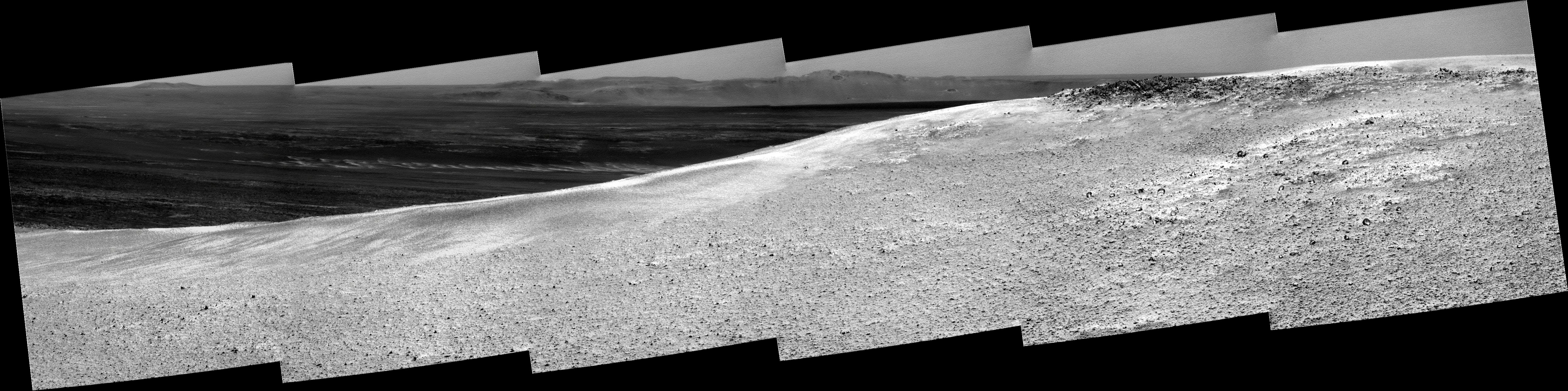
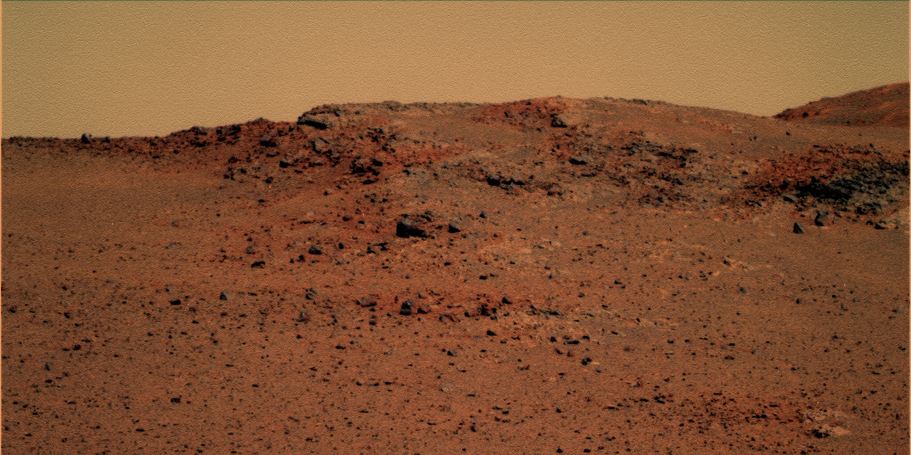
I'm not surprised that the vein mineral is so tough-- deposited in a fracture by fluids and probably a carbonate mineral or even silica. And the surrounding rock is understandably weaker-- it is likely old-weathered pre-Endeavour surface that has been further altered, parboiled and marinaded by those hydrothermal fluids. And the colors of the disturbed soil tell a story of their own-- in and of themselves, we don't know what minerals they represent, but their meaning is clear: there are current weathering processes going on at and below the surface.
There. Let me stick my neck out and risk public humiliation is a few days...

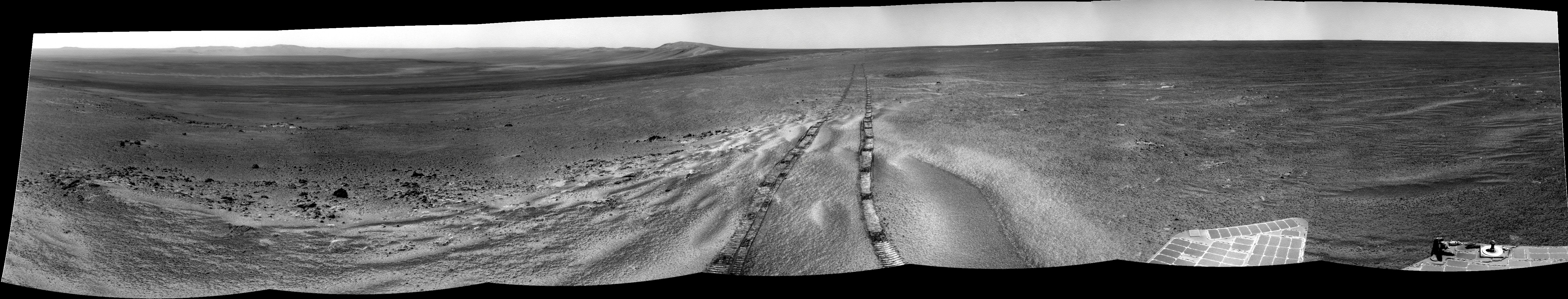
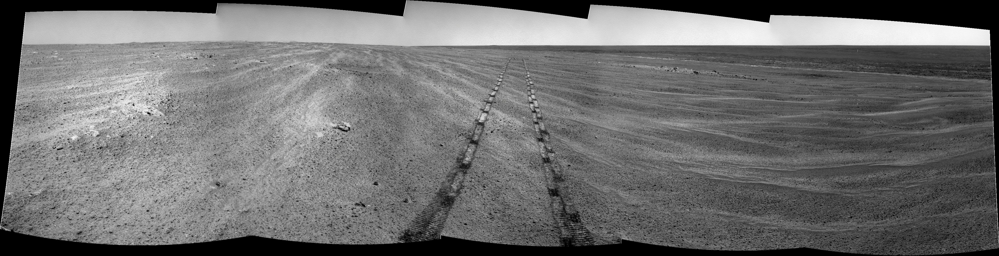
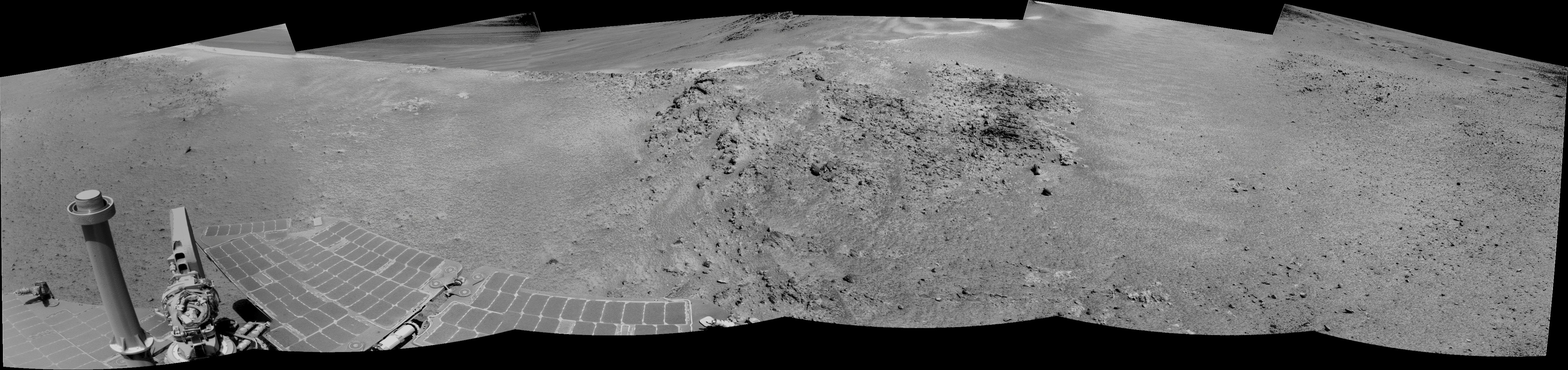
Let me attach an L257 of the Pancam from Tosol (Sol-2773). I've had a really iffy dialup connection the past few days and haven't updated my photo site, so y'all are getting a preview.
@Matt: "Purportedly, we intended to drive over it 3 times" And she did so with a vengeance. Poor rock never stood a chance.

http://qt.exploratorium.edu/mars/opportuni...75P1833L0M1.JPG
--Bill

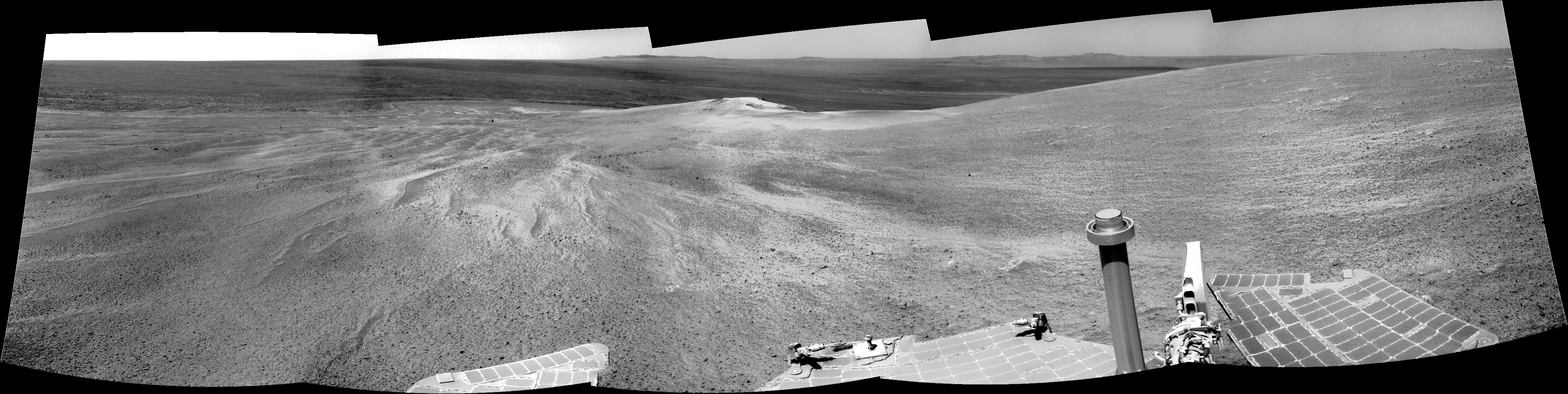
 Honestly, I was surprised to see Oppy intentionally drive over this rock. I mean, how many times have we previously wished the rover to physically attack a nearby target, only to see her shy away?