QUOTE (fredk @ Oct 29 2010, 04:35 PM)

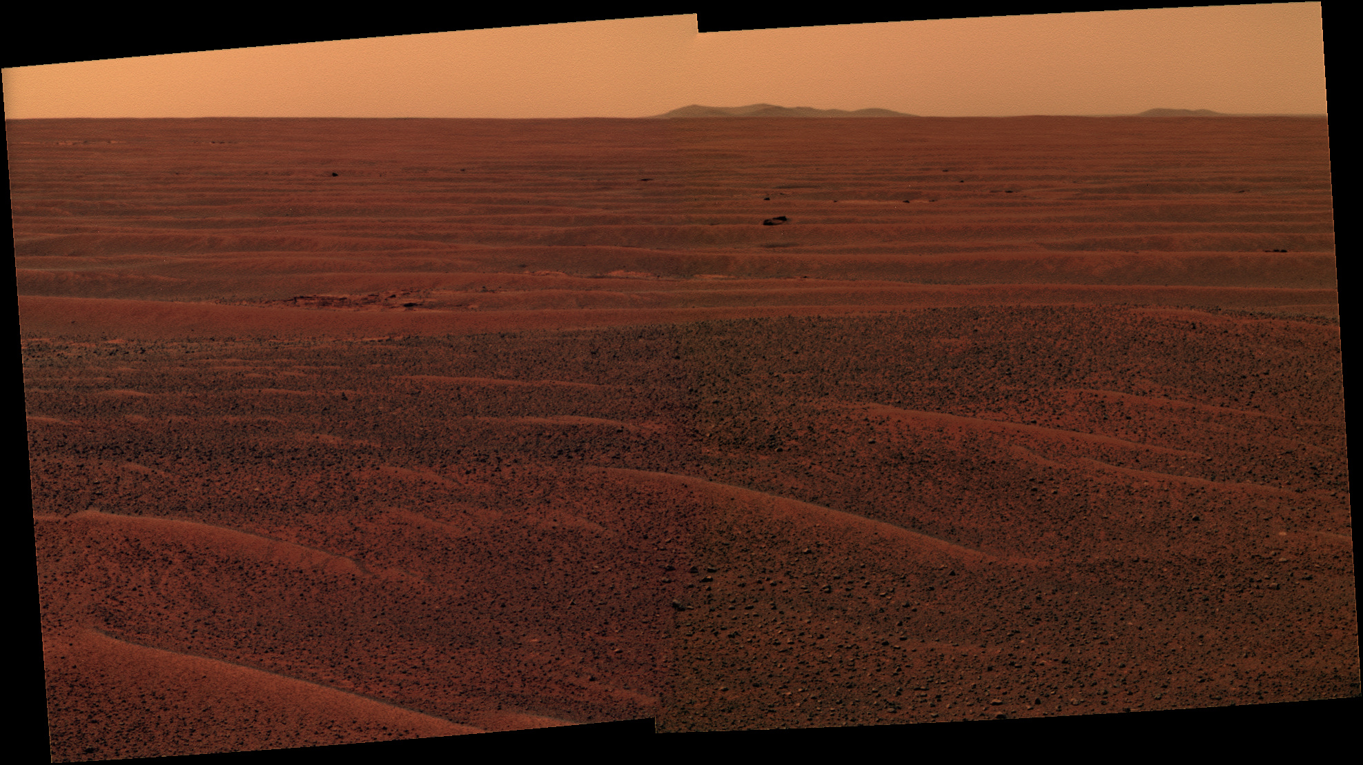
I'm now pretty confident that the "two dark spots" are Santa Maria. I checked the growth in angular separation between those dark spots from sol 2382 to 2402 (long baseline), and it was consistent with SM's distance.
I got the same result while we were travelling ENE. The trouble with that was that we weren't approaching those features directly and the change in viewing angle may have had the effect of reducing the rate of widening, resulting in an overestimate of the distance. By triangulation TMAN found that 'rightmost' is 100m more distant than 'leftmost', consistent with such a result. (I suspect that TMAN's finding of a lower parallax for 'eastmost' is independent of the absolute values of the azimuths involved.) From the most recent drives on an almost direct approach heading I'm seeing about twice the rate of widening I'd expect if the features were at the distance of Santa Maria.
One thing's for sure. If those two features don't belong to Santa Maria they have clearly been placed exactly where they are and at exactly the right distance apart to cause maximum confusion.