Help - Search - Members - Calendar
Full Version: MRO-HiRISE
Unmanned Spaceflight.com > Mars & Missions > Orbiters > MRO 2005
Pages: 1, 2, 3, 4
Sean
Thanks Steve.

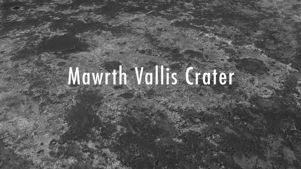
Mawrth Vallis Crater

Click thru for a video...


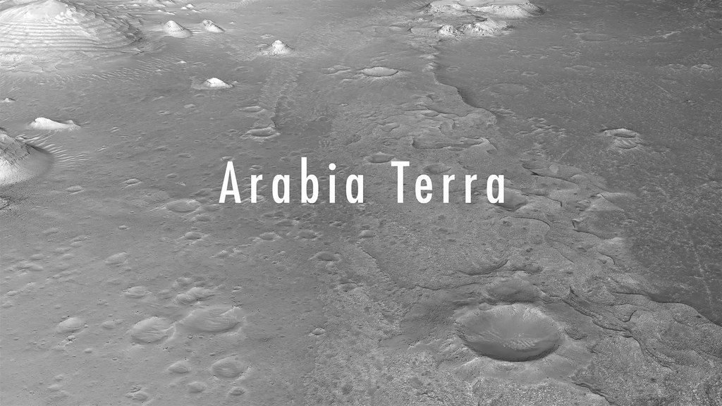
I also updated the Arabia Terra clip, now longer with better bitrate.


Sean
Tooting Crater

Click thru for a video...


Sean
Kaiser Crater

Click thru for a video...


Sean
HiRISin' 2

Click thru for a video...


brellis
Sean, these vids are gorgeous! Thanks for posting
Sean
Thanks brellis.

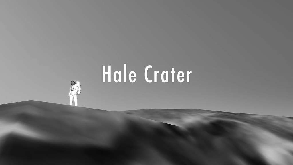
Hale Crater

Click thru for a video...


Updated this with better bitrate, textures & atmospheric scattering


Sean
Jezero

Click thru for video...


data by HiRISE, HRSC & CTX

Updated with better bitrate, masking & dropped the awful sepia tint.


Explorer1
Eagle crater in color (at last)! So much dust covering the lander, it's almost poignant... https://solarsystem.nasa.gov/news/2017/04/21
Sean
Hale Gullies

Click thru for a video...


Sean
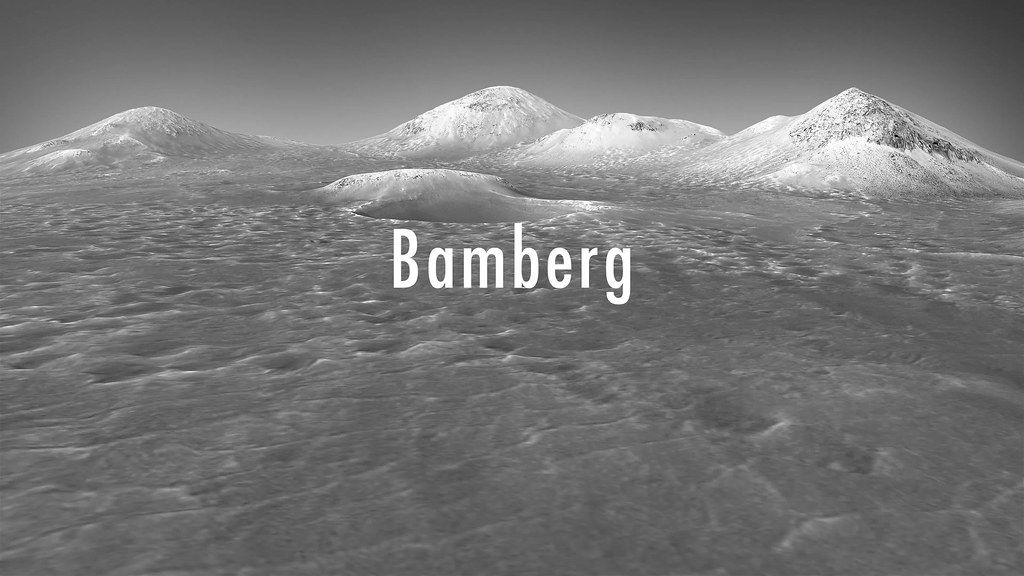
Bamberg

Click thru for a video...


Updated this to 4k with better texture, higher bitrate, extended path & atmospheric scattering.


Sean
Vera

Click thru for a video...


Music by Andreas Vollenweider

Flying over Vera Rubin Ridge & lower Mt Sharp.


Sean
Here is a 686 Megapixel portrait of Kaiser Crater...


...and a 4k wallpaper.


Sean
Mojave Crater 4k...


...and a 4k 60fps flyby


Sean
Some synthetic RGB work...


Floyd
Very nice, I really like the haze effect on the distant objects.
Sean
Another pass at Mojave, this time using Curiosity mosaic color info to influence the synthetic rgb texture...


[ 20 Megapixel ]

and a postcard...


Phil Stooke
Here is one of Sean's images on display at LPSC on Monday morning.

Phil

Click to view attachment
Sean
Thanks for this Phil...do you mind if I share it on that thing called social media?
Phil Stooke
Yes, use it any way you like!

Phil

Sean
Some updates...

A new Jezero flyby made with CTX & MARCI


4k60 version on Youtube


Gale crater color study made with HRSC & MARCI...


Lots of wrinkles to iron out of this workflow still...
jccwrt
Now make a simulated landing video in Jezero crater tongue.gif
Sean
Gorgonum Chaos...made with synthetic rgb mapped to HiRISE rgb


40 megapixel...


Details...


Flyby animation...


4k60 version on Youtube


Adam Hurcewicz
Great job Sean! Thanx biggrin.gif
Sean
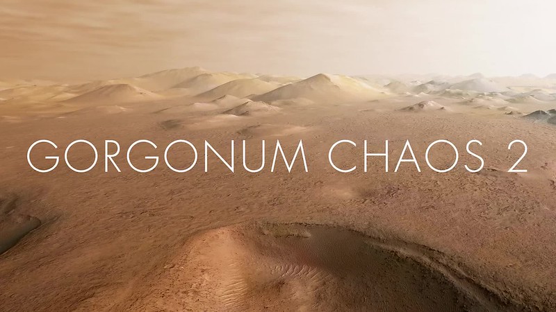
Gorgonum Chaos 2...a lower flyby with synthetic color pass derived from HiRISE rgb, extended sky & horizon.


4k60 version on Youtube


monty python
Just fantastic as always from you.


I used to look at these scenes and think - look what water has done. But because of Oppy I think - look at what fault control has done.


Long live Oppy!
Sean
New pass on 3xDTM Domoni Crater...


Full 980 megapixel version on Gigapan


Full 980 megapixel version on Gigapan

HiRISE RGB mapped to synthetic color [ for the color version ] & lots of remixing & repairs in Photoshop


Sean
Ceti Mensa


HiRISE RGB mapped to synthetic color

4k version on Youtube


wildespace
Great work, Sean, as always.

I'm happy to see my HiWish fulfulled, it being some impressive dark sand dunes in Melas Chasma.

Click to view attachment

The proper page for it at HiRISE website will be up in August, but I did get the images at a preliminary stage:

Standard map projected images (RDR):
http://hirise-pds.lpl.arizona.edu/PDS/RDR/...SP_055322_1680/

Extras (RDR):
http://hirise-pds.lpl.arizona.edu/PDS/EXTR...SP_055322_1680/

The two dunes are about 1 to 1.5 km wide and 5 to 6 km long.

These dunes are so large, they have dunes of their own:

Click to view attachment

Any ideas as to how such big dunes got there, in that part of Valles Marineris?

The IRB image looks so cool!

Click to view attachment

Oblique view from Google Earth:

Click to view attachment

P.S. When we do get the stereo pair, could somebody please make a 3D model based on that and make a cool flyover video? smile.gif
monitorlizard
This is mostly on topic, does anyone know what science observations MRO is taking during the dust storm? Specifically, HiRISE imaging would seem to be a waste of precious downlink volume. Are other instruments being used more?
Sean
Thanks. I'm not sure what criteria is used to determine which stereo pairs are converted to dtm's. I do know that only a small fraction of stereo pairs have been converted and that the computation required to do so is intensive.

QUOTE (wildespace @ Jul 15 2018, 11:50 AM) *
P.S. When we do get the stereo pair, could somebody please make a 3D model based on that and make a cool flyover video? smile.gif

Explorer1
QUOTE (monitorlizard @ Aug 5 2018, 02:03 PM) *
This is mostly on topic, does anyone know what science observations MRO is taking during the dust storm? Specifically, HiRISE imaging would seem to be a waste of precious downlink volume. Are other instruments being used more?


https://www.jpl.nasa.gov/images/mer/20180613/Zurek-3-16.jpg
There seem to be some observations of wind movement with HiRISE, but the other instruments (CTX, CRISM, MCS, and Marci) are contributing to observations in other ways.
Sean
Another portrait of one of the mounds in Ganges Chasma...


Sean
Ganges Mensa


4k version on Youtube & Vimeo


Sean
Glacier


4k version on Youtube & Vimeo


Glacier portrait


Sean
Columbus


4k version on Youtube & Vimeo

HiRISE


lyford
QUOTE (Sean @ Sep 30 2018, 08:30 AM) *
Columbus

Sean, at this rate someone will need to rename the header "AMAZING IMAGES" from "interesting images!"
hendric
Sean, with the discussion on Arsia Mons, is there DTM data? Could you do a flyby, esp. of the SW flank where the clouds seem to be starting? Thanks!
djellison
Sadly there's no HiRISE DTM's of the area.

Some HRSC Images do though.... -

http://viewer.mars.asu.edu/planetview/inst...000_DT4&T=2

There may be others according to HRSC View.
Sean
It might be a while before I can look at that area, any decision to render will depend on data coverage/quality & aesthetic.

Zephyria region...


4k on Youtube

Source


Sean
A flyby of polygonal ridges in the Syrtis region.


4k on Youtube & Vimeo

Source


nogal
QUOTE (Sean @ Oct 3 2018, 05:37 PM) *
A flyby of polygonal ridges in the Syrtis region.

Congratulations Seán! And many thanks for taking this topic.
I posted pointers to the video on the Zooniverse PlatetFour:Ridges project's chat.
I expect volunteers to be ecstatic, as I am. It is so much nicer to see them with perspective!
Fernando
nogal
While working on classifying subsets of CTX images on the PlanetFour:Terrains and PlanetFour:Ridges projects on Zooniverse, I often need to visualize the full CTX or search for nearby CTX or HiRISE images.

That used to be easy using the image explorer from ASU. Having loaded the reference CTX with the image explorer, I just clicked the "View this image in context on an interactive map" button. Sadly this capability seems to no longer be working for CTX and HiRISE images, despite still being available for THEMIS.

Does anyone know what happened or how to bypass an eventual problem? Thanks
Fernando
Update: the capability has been restored. Thanks are due to those making it happen! smile.gif
Sean
Thanks Fernando, here is Ius Chasma...


4k on Youtube

Source


nogal
It seems that the correction to MRO CTX Viewer problems I mentioned in Post #142 did not catch everything.
The "View this image in the context of an interactive map" button now works almost perfectly. It does open a map, but it is centered on the wrong coordinates.
For instance, for image F13_041029_0968_XN_83S057W the map opens centered on 83.3º N / 302.5º E. North when it should have been South.
The absolute value of the latitude is used to position the map.
It would seem the code is parsing the image ID but fails to take the N or S indication into consideration.
Perhaps some viewer of this forum knows someone able to fix it? Thanks.

Fernando
RoverDriver
Perhaps this is related to the direction in which the HiRISE strip is captured? Some have North up and some South up. That information is present in the .LBL file. I don't think it is possible to determine it from the file name.

Paolo
nogal
QUOTE (RoverDriver @ Nov 28 2018, 01:02 AM) *
Perhaps this is related to the direction in which the HiRISE strip is captured?


Thank you Paolo. I am aware of this "image flip", I believe it is not it. I really do not know what is causing it, but several of the PlanetFour:Terrains project's volunteers (myself included) are heavy users of the viewer. It is quite handy to view the CTX in context in order to find near ones and overlaps. The CTXs used by the project are from the south pole area, so we were surprised to be taken to the north polar area!
Fernando
Sean
Testing some new rgb / synthetic rgb blends...

Medusa Fossae


For the 3D texture I target HiRISE rgb and build out a synthetic rgb map then blend in Photoshop.
Sean
Medusa Fossae Bullseye


rgb / synthetic rgb

4k60 on Youtube


Paul Marshall
3D Flyby of the Grand Canyon on MT Sharp in false colour.

Best viewed on a 4K TV: Youtube4k


HiRISE DTM used: https://www.uahirise.org/dtm/dtm.php?ID=PSP_006855_1750
Sean


Full 33 minute version in 4k on Youtube

Here is a link to the trailer


This is a "lo-fi" version of our main content. To view the full version with more information, formatting and images, please click here.
Invision Power Board © 2001-2024 Invision Power Services, Inc.