QUOTE (Bill Harris @ Oct 8 2015, 08:54 PM)

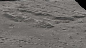
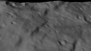
I took this latest map and carefully selected the fuzzy area and applied an unsharp mask to bring out detail. It may have helped, but it's still a lost cause.
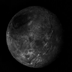
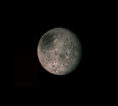
It's interesting to consider, generically, the spatial distribution of areal units on different worlds: If you see half the world, do you see all of the major areal types and morphological phenomena represented? Usually, the answer is yes. Some exceptions: Ishtar on Venus, the nearside maria on the Moon, Valles Marineris on Mars, the northern plains on Mars, the "ring of fire" around the Pacific on Earth, the northern seas on Titan, the active south polar region on Enceladus
If you only saw the hemisphere "anti-" each of those things, you'd have no inkling of them represented in your data. Often, you'd have a lesser version of them, such as the farside maria on the Moon as a stand-in for the much broader nearside maria, but in some cases, you have no analogue at all.
Still, these cases are the minority, so the odds are, we've seen the important stuff on Pluto and Charon already, with more of the same on the other side. But there's no guarantee of that, and we may have missed something crucial
a Pluto equivalent of Tharsis or a Charon equivalent of Ishtar


 ).
).