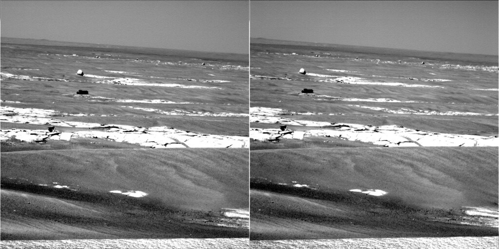
I am attaching a montage of horizons, screen-captured with MMB at a constant magnification. It is captioned to note how the appearance of Beagle crater changes with respect to the horizon, as Opportunity changes in elevation. I have another montage combining Phil's most excellent route map with a stretched version of the original HoaV profile. Stretching the profile between Eagle and Beagle confirms a location for HoaV in about the same place. I just do not have time to upload it on dialup tonight. I'll post it tomorrow. Sorry.
I thought it might be fun to see who, if anyone, recognized the event when it occurred. Kind of like a reverse poll, where it is too late to hedge your bet.
 Searching the forum for relevant posts is difficult, but I came up with a couple of links. I suspect there may be one or two comments that I missed, so post your links here.
As we left Erebus behind, RedSky asked where HoaV would be. Phil and centsworth_II made pretty good predictions for the time. http://www.unmannedspaceflight.com/index.p...amp;#entry45719
On this low-fi view of the forum, I discovered that Chmee seems to have recognized the topographic topover on April 14th, 2006. A little later Dilo agreed, and noted that Opportunity was descending. That was around sol 789. http://www.unmannedspaceflight.com/index.p...;f=2&t=2417 Their recognitions are the best I could find, and so far, the winners.

 I could be wrong and that wouldn't be the first time

 It really is a tough call, Bill. I'm going on "gut feeling" here. To actually nail it would require going back through each sol's imagery and making measurements. That would be essentially a real pain. Let's agree to wait for a tie-breaker.
